Bangladesh
 Low Pressure
 Low pressure in Bay of Bengal
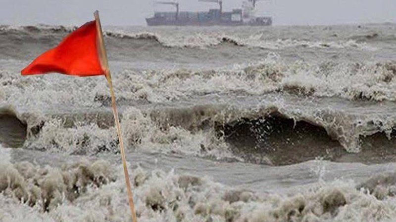
Dhaka, May 8: A low pressure has formed in the Bay of Bengal. It is expected to gradually gather strength and become a cyclonic storm in the next few days. Low pressure is the initial stage of cyclone formation. On the other hand, the country is now completely rainless. The temperature is increasing, mild to moderate heat waves are blowing in 43 districts of the country. In summer, public life is becoming miserable again.
According to the weather forecast on Monday morning, a low pressure has formed in the southeast Bay of Bengal and adjoining South Andaman Sea area. It can be condensed. An extension of the western low pressure is located over West Bengal and adjoining areas.
Due to various natural causes, a region of centrifugal wind or low pressure is formed in some part of the sea. Gradually this stormy area gathers energy (increasing wind speed) to become a clear low pressure, low pressure, deep depression and finally a cyclone.
If the low pressure gradually condenses into a cyclone, it will be called 'Mokha', a name given to it by Yemen. According to preliminary data from weather forecast models, 'Mokha' is going to be a strong cyclone. Meteorologists and meteorological experts also said that it is likely to hit the coast of Bangladesh and Myanmar.
It did not rain anywhere in the country for 24 hours from 6 am on Sunday to 6 am on Monday. On Sunday, the highest temperature in the country was 39.2 degrees Celsius in Chuadanga. The maximum temperature in Dhaka was 37.7 degrees Celsius.
On Monday morning, the lowest temperature in the country was recorded at 21.2 degrees Celsius at Tentulia. The minimum temperature in Dhaka was 28 degrees Celsius. The Meteorological Department also said that the heat wave may continue for the next three days.


